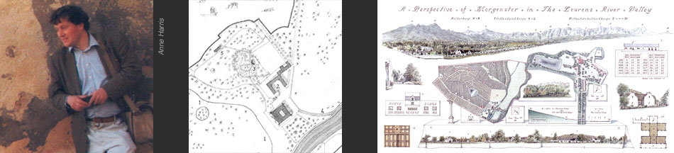
A Brief History
Simon Vernon was presented with a plane table and theodolite at the age of eighteen, as he formed part of a survey party on an expedition to Arctic Sweden. The subject was the Kårsa Glacier and the Royal Academy of Sciences in Stockholm wanted to know its position in a warmer climate.
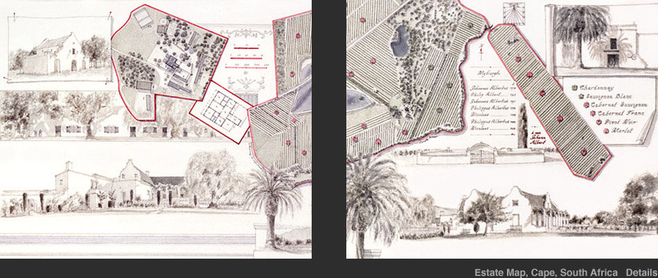
He then returned from the August blizzards to study Rural Estate Management before working to qualification as a Chartered Surveyor. On doing so, he gained a travel scholarship to study Cape Dutch Architecture in South Africa. He visited a number of estates to which he was invited to return a few years later with maps in mind.
This was followed by a period of time with a paint brush, recording architectural and topographical subjects, and working under an Antiquarian Print and Map Dealer in Covent Garden where he gained a more informed perspective on the history of mapmaking.
He subsequently travelled to Italy where he studied some fine examples of early estate mapmaking in the Veneto.
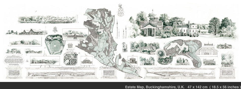
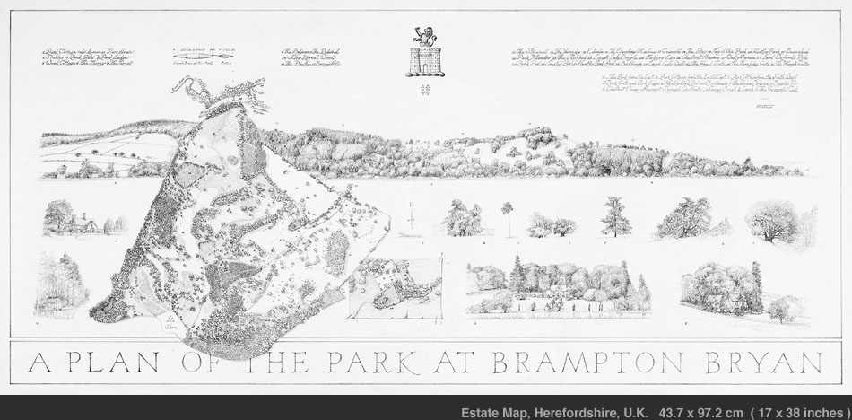
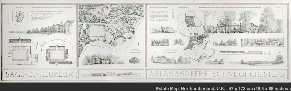
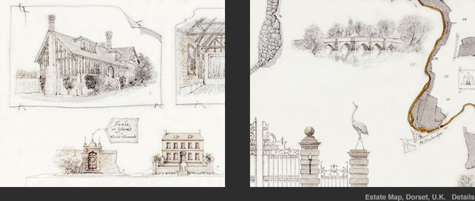
His first map was that of a small estate in the South Cambridgeshire 'hills'. Since then he has carried out numerous commissions for both private clients and institutions such as the National Trust.
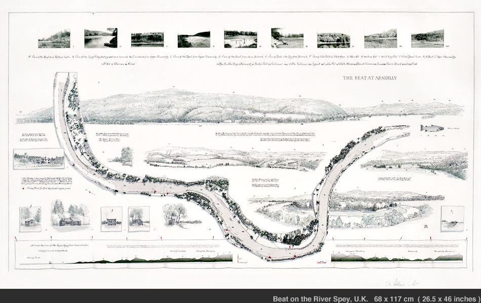
His work has embraced architectural styles ranging from the Palladian in England to the Cape Dutch in South Africa, and met such varied environments as the shingled banks of a river in the Scottish Highlands to the vast plains of Castille La Mancha in Spain.
and some Earlier Maps